
Planning
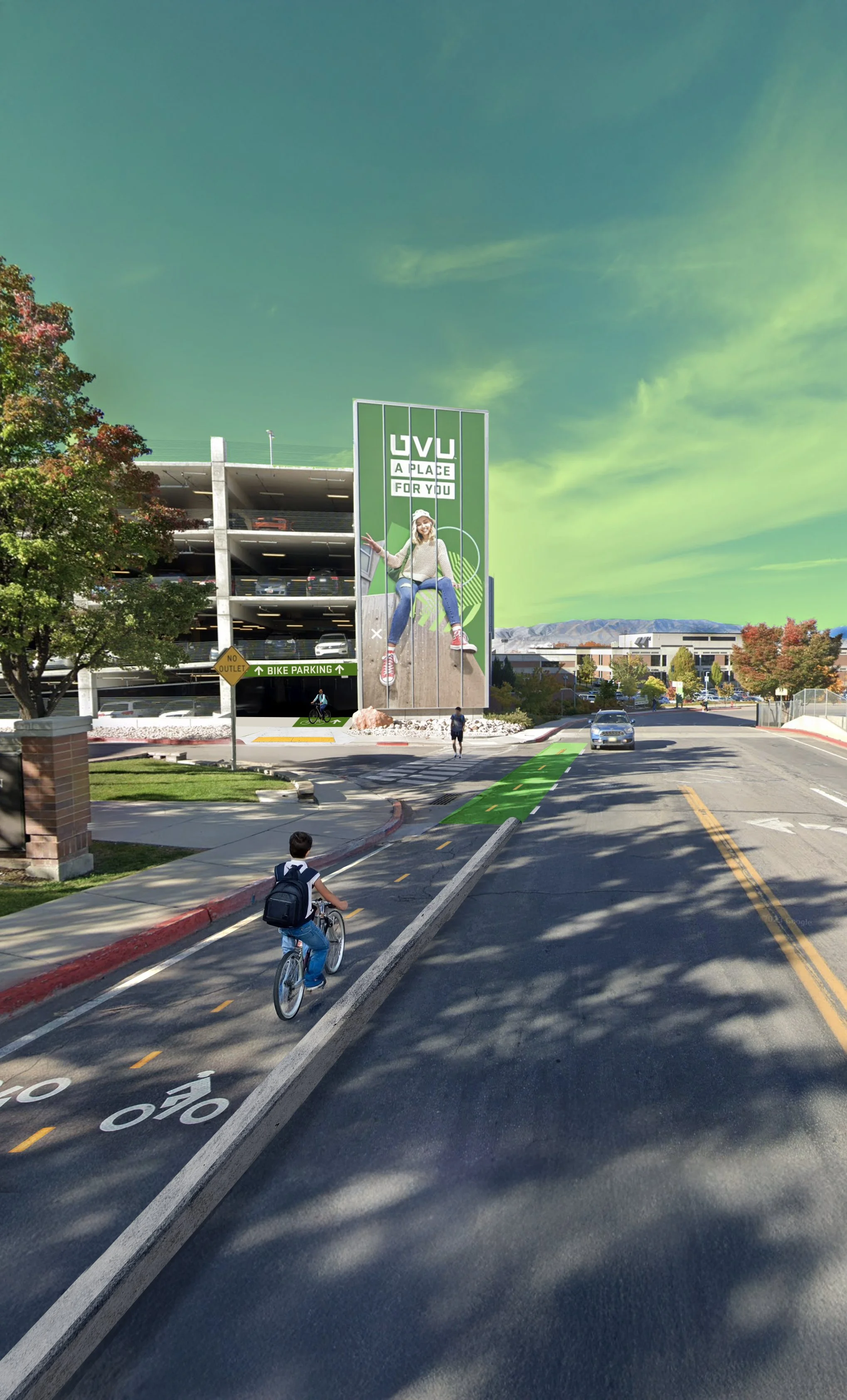
We plan for a more accessible community through bike-friendly infrastructure
Our Planning
Below are examples of how we plan with the community. Didn’t see what you are looking for? If you have an idea or a request, let us know in the form when applying!

GIS Analysis
Focused, data-driven projects examining specific issues, such as connectivity or safety, within a street network. These analyses identify strengths, weaknesses, and actionable recommendations for infrastructure improvements based on GIS data analysis.

Safe Routes to School Safety Assessments
Plans created for elementary schools or districts to identify the safest routes for kids to walk or bike. These assessments analyze collision risk, vehicle speeds, traffic volume, road width, and distance to schools, providing route recommendations, infrastructure improvements, and strategies to improve safety and comfort.

Active Transportation Plans
Comprehensive plans to improve city street design for pedestrians and cyclists. These plans involve extensive community engagement, GIS analysis, facility recommendations, cost estimates, funding sources, and implementation strategies. They are ultimately approved by the city planning commission and council.
